Middle Fork of the Flathead River Webcam
View the Middle Fork Flathead River beneath the West Glacier bridge, from the NPS camera near Glacier park headquarters.
About this webcam
This view follows the Middle Fork of the Flathead River beneath the West Glacier bridge, from near park headquarters. NPS identifies the river as Glacier National Park’s southwest boundary, which distinguishes it from the park’s lake and entrance cameras.
What the river scene can tell you
The park notes that West Glacier lights can sometimes be visible at night and rafters may appear during summer. Neither is guaranteed in a particular frame. This visual river view is not a water-level instrument or a statement about rafting conditions.
Location context
- Source-associated place
- Glacier National Park
- Source-associated place's region
- Montana
- Nearby named feature
- Mount Oberlin (mountain) · approximately 1.4 km from camera coordinates
- Nearby named feature
- Hidden Lake (lake) · approximately 3.0 km from camera coordinates
Nearby webcams
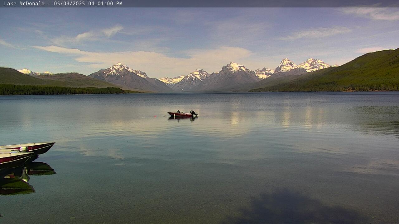 Lake McDonald - 2Glacier National ParkSame source-associated place · 0.0 km · Live Confirmed
 West EntranceGlacier National ParkSame source-associated place · 0.0 km · Live Confirmed
 Lake McDonald - 1Glacier National ParkSame source-associated place · 0.0 km · Live Confirmed
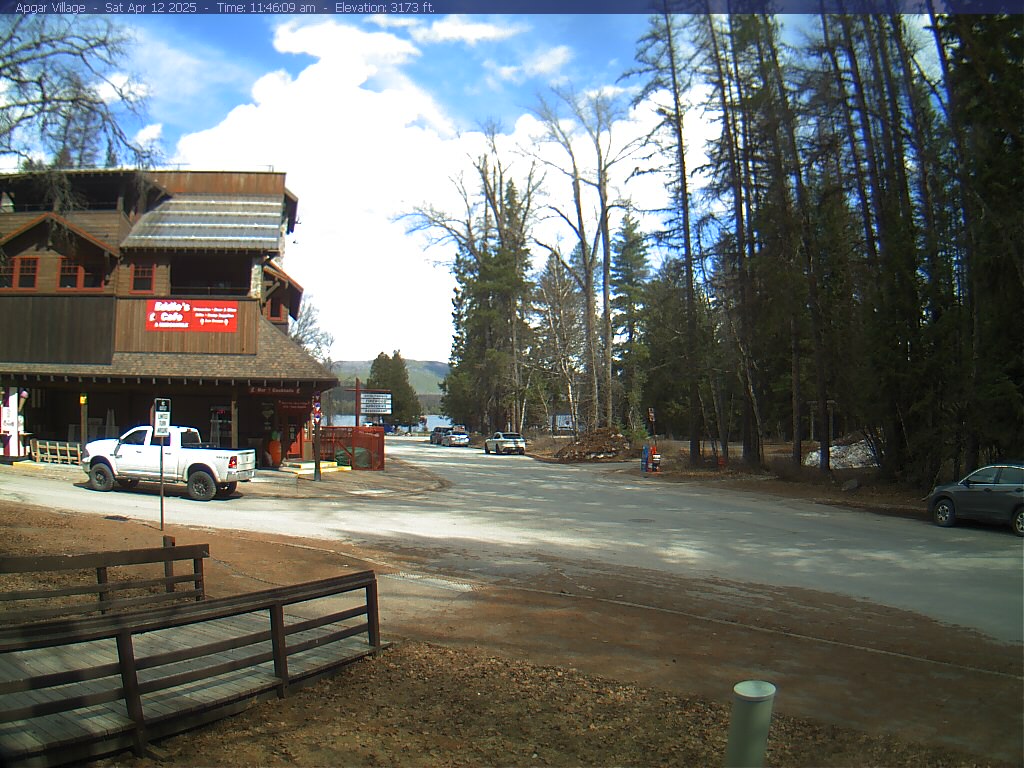 Apgar VillageGlacier National ParkSame source-associated place · 0.0 km · Live Confirmed
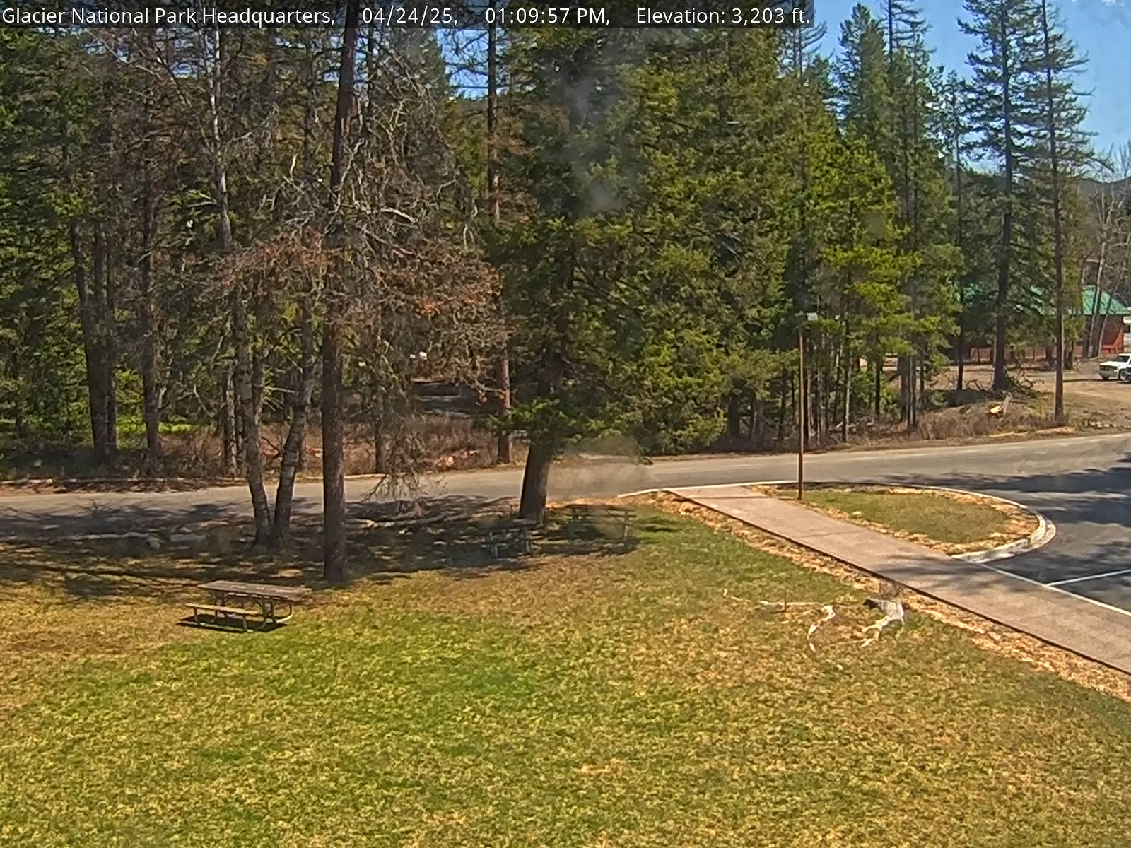 Park HeadquartersGlacier National ParkSame source-associated place · 0.0 km · Live Confirmed
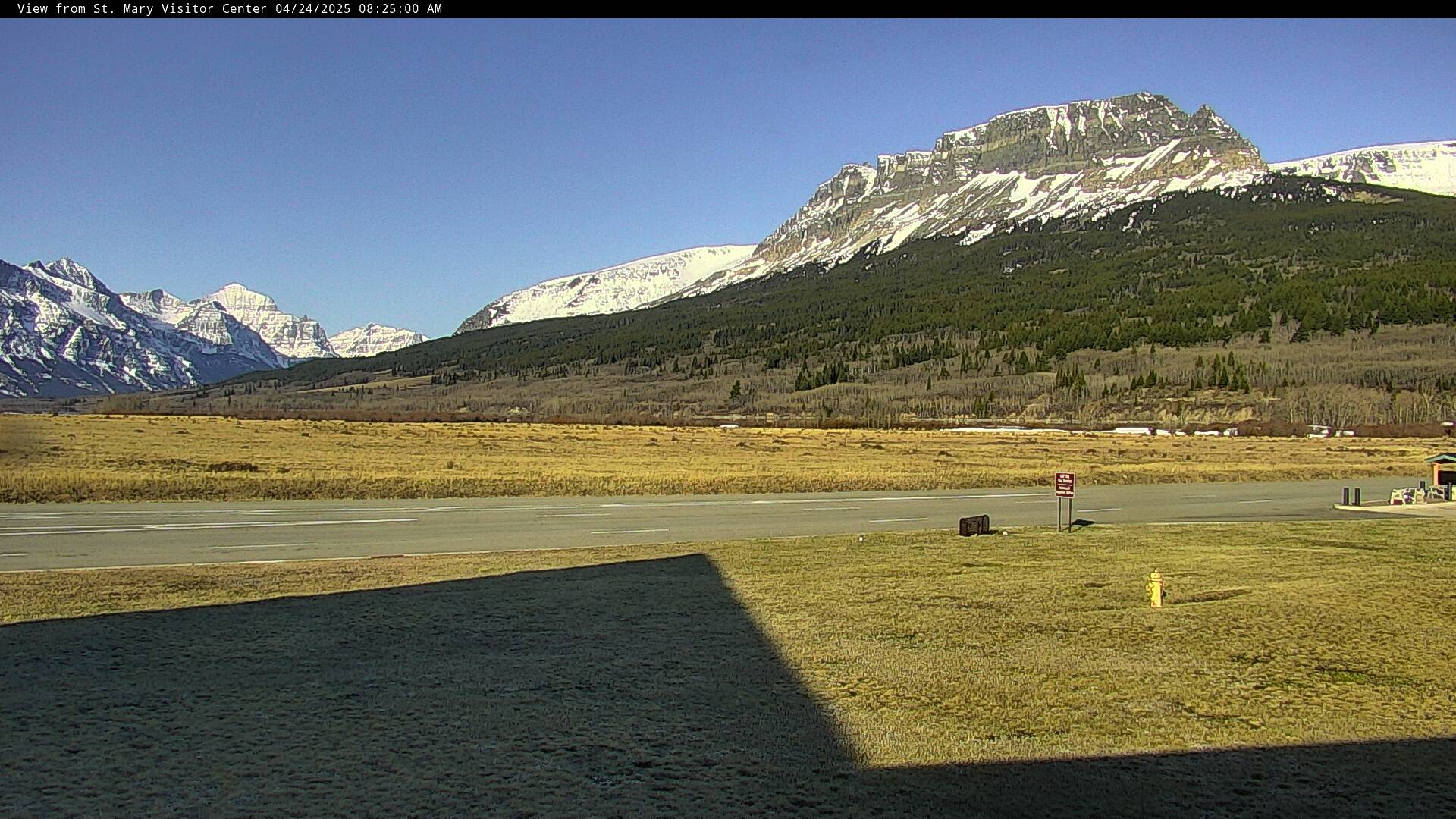 St. Mary Visitor CenterGlacier National ParkSame source-associated place · 0.0 km · Live Confirmed
Explore this area on the map →
Source & rights
National Park Service