Bad River at US Highway 169 Near Mellen Webcam
View the Bad River at US Highway 169 Near Mellen Webcam near Ashland, United States, provided by U.S. Geological Survey National Imagery Management System (NIMS). Categories: Nature, Water.
Location context
- Nearby mapped place's region
- Wisconsin
- Nearby named feature
- Loon Lake (lake) · approximately 1.7 km from camera coordinates
- Nearby named feature
- Eagles Peak (mountain) · approximately 4.4 km from camera coordinates
Nearby webcams
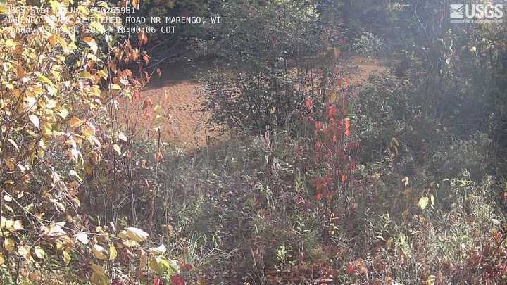 MARENGO RIVER AT RIEMER ROAD NR MARENGOAshlandSame mapped place · 17.9 km · Live Confirmed
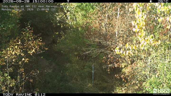 Tody Ravine at HWY 112 near MarengoAshlandSame mapped place · 21.8 km · Live Confirmed
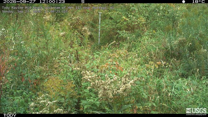 Tody Ravine Mid Reach Upstream of HWY 112 near MarengoAshlandSame mapped place · 22.0 km · Live Confirmed
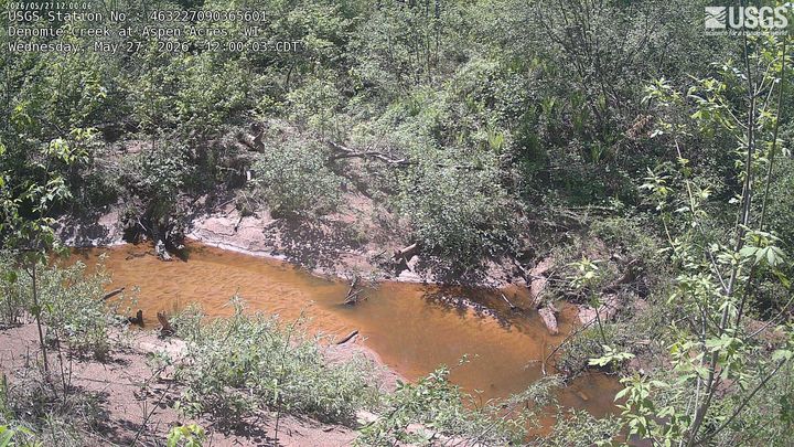 Denomie Creek at Aspen AcresAshlandSame mapped place · 23.0 km · Live Confirmed
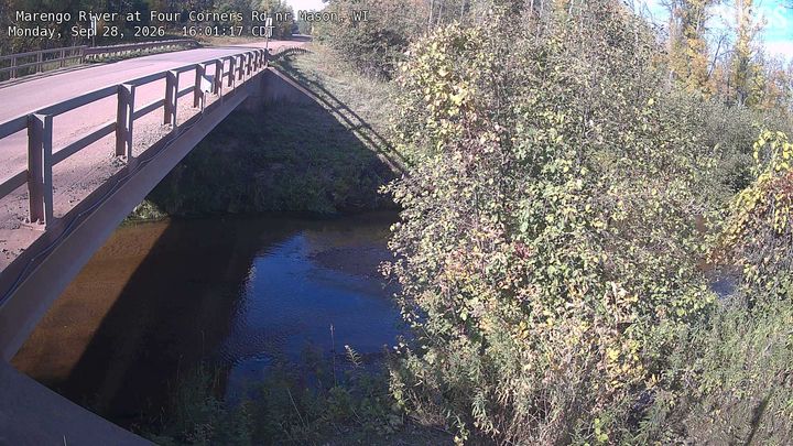 Marengo River at Four Corners Rd nr MasonAshlandSame mapped place · 24.0 km · Live Confirmed
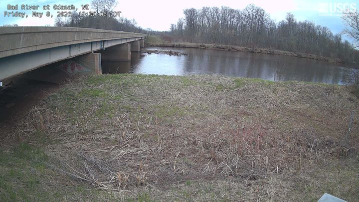 Bad River at OdanahAshlandSame mapped place · 30.7 km · Live Confirmed
Explore this area on the map →
Source & rights
U.S. Geological Survey