Cow Bayou at Ih 10 nr Vidor Webcam
View the Cow Bayou at Ih 10 nr Vidor Webcam near Mauriceville, United States, provided by U.S. Geological Survey National Imagery Management System (NIMS). Categories: Water.
Location context
- Nearby mapped place's region
- Texas
- Nearby named feature
- Smiths Lake (lake) · approximately 10.4 km from camera coordinates
- Nearby named feature
- Gum Island (island) · approximately 10.6 km from camera coordinates
Nearby webcams
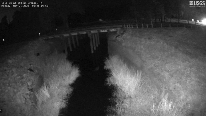 Cole Ck at I10 nr Orange
Explore this area on the map →
Source & rights
U.S. Geological Survey