Gunnison River at Cnty Rd 32 below Gunnison Webcam
View the Gunnison River at Cnty Rd 32 below Gunnison Webcam near Gunnison, United States, provided by U.S. Geological Survey National Imagery Management System (NIMS). Categories: Nature, Water.
Location context
- Nearby mapped place's region
- Colorado
- Nearby named feature
- Steers Gulch (valley) · approximately 1.6 km from camera coordinates
- Nearby named feature
- The Wayne N Aspinall Unit (reservoir) · approximately 3.2 km from camera coordinates
Nearby webcams
 Elk Creek WebcamCurecanti National Recreation AreaNearby camera · 16.3 km · Live Confirmed
 Gunnison PointBlack Canyon Of The Gunnison National ParkNearby camera · 60.3 km · Live Confirmed
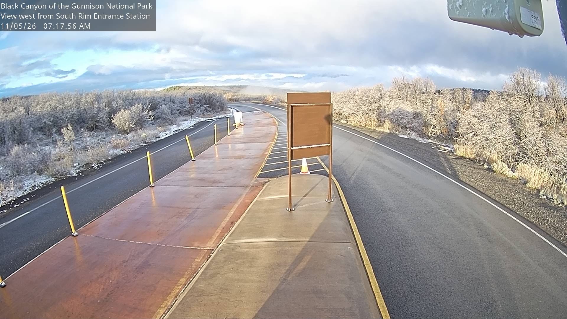 South Rim Entrance StationBlack Canyon Of The Gunnison National ParkNearby camera · 60.8 km · Live Confirmed
 Animas River at SilvertonSilvertonNearby camera · 97.6 km · Live Confirmed
Explore this area on the map →
Source & rights
U.S. Geological Survey