Maumee River at Waterville Webcam
View the Maumee River at Waterville Webcam near Waterville, United States, provided by U.S. Geological Survey National Imagery Management System (NIMS). Categories: Nature, Water.
Location context
- Nearby mapped place's region
- Ohio
- Nearby named feature
- Waterville Commercial Historic District (park) · approximately 500 m from camera coordinates
- Nearby named feature
- Granger Island (island) · approximately 600 m from camera coordinates
Nearby webcams
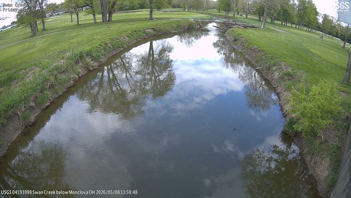 Swan Creek below MonclovaHollandNearby camera · 9.3 km · Live Confirmed
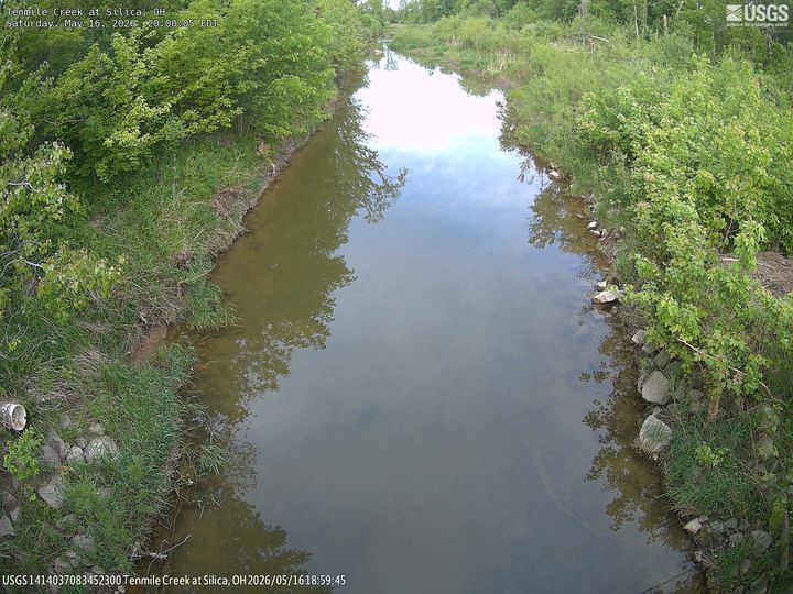 Tenmile Creek at SilicaSylvaniaNearby camera · 20.0 km · Live Confirmed
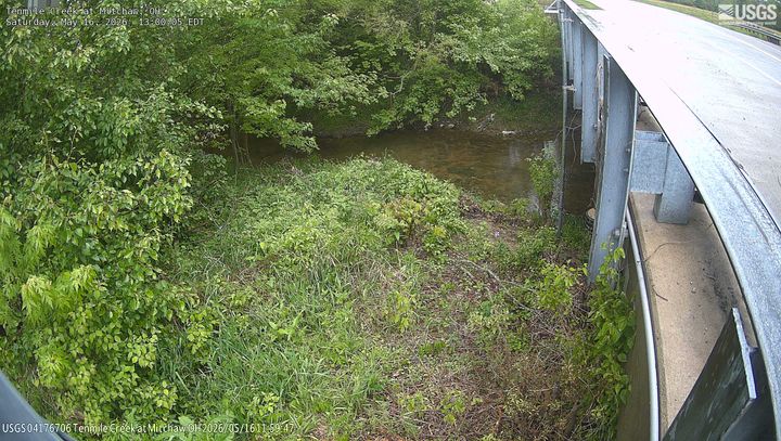 Tenmile Creek at MitchawSylvaniaNearby camera · 21.3 km · Live Confirmed
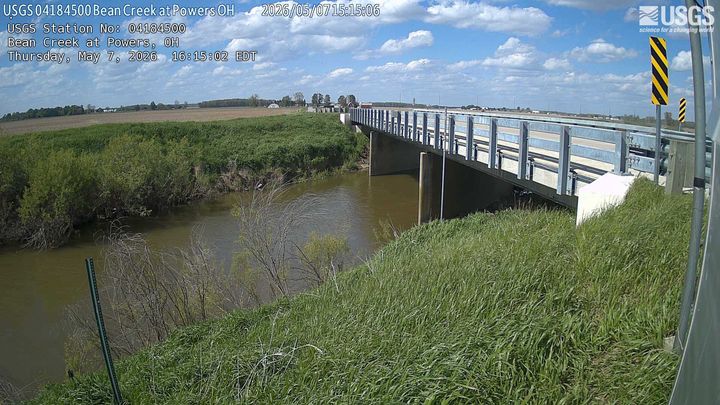 Bean Creek at PowersFayetteNearby camera · 48.0 km · Live Confirmed
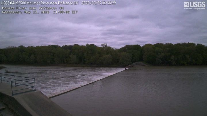 Maumee River near DefianceDefianceNearby camera · 52.8 km · Live Confirmed
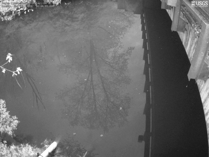 Eagle Creek above FindlayFindlayNearby camera · 58.1 km · Live Confirmed
Explore this area on the map →
Source & rights
U.S. Geological Survey