MF Bradley River below NF Bradley River near Homer Webcam
View the MF Bradley River below NF Bradley River near Homer Webcam near Fritz Creek, United States, provided by U.S. Geological Survey National Imagery Management System (NIMS). Categories: Nature, Water.
Location context
- Nearby mapped place's region
- Alaska
- Nearby named feature
- Bradley Lake (reservoir) · approximately 7.7 km from camera coordinates
- Nearby named feature
- Chugachik Island (island) · approximately 11.7 km from camera coordinates
Nearby webcams
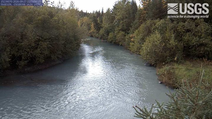 Bradley River near Tidewater near HomerFritz CreekSame mapped place · 1.1 km · Live Confirmed
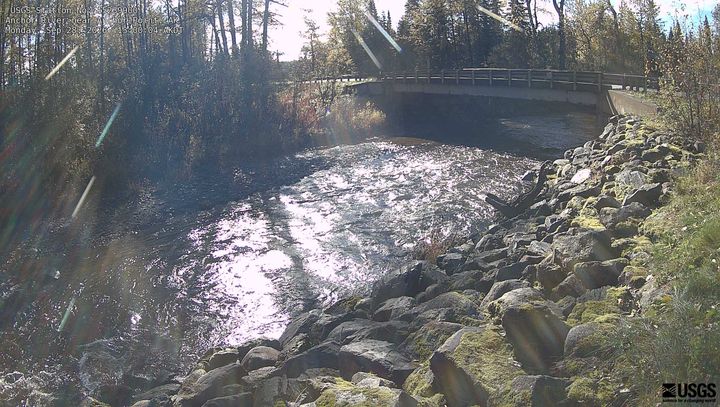 Anchor River near Anchor PointAnchor PointNearby camera · 50.1 km · Live Confirmed
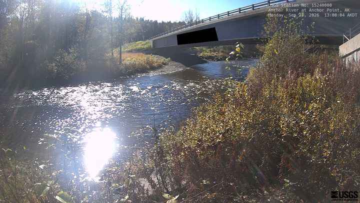 Anchor River at Anchor PointAnchor PointNearby camera · 54.4 km · Live Confirmed
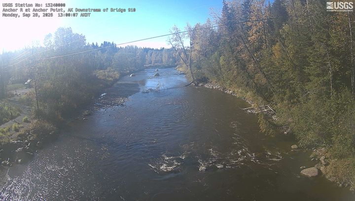 Anchor R at Anchor Point Downstream of Bridge 910Anchor PointNearby camera · 54.4 km · Live Confirmed
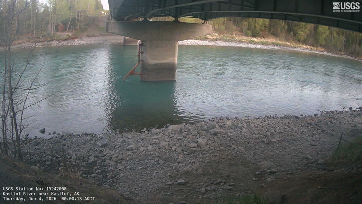 Kasilof River near KasilofCohoeNearby camera · 61.8 km · Live Confirmed
Explore this area on the map →
Source & rights
U.S. Geological Survey