Saluda River above I26 Flyover near West Columbia Webcam
View the Saluda River above I26 Flyover near West Columbia Webcam near Saint Andrews, United States, provided by U.S. Geological Survey National Imagery Management System (NIMS). Categories: Nature, Water.
Location context
- Nearby mapped place's region
- South Carolina
- Nearby named feature
- Quail Hollow Lake Number One (reservoir) · approximately 1.3 km from camera coordinates
- Nearby named feature
- Saluda Factory Historic District (park) · approximately 2.3 km from camera coordinates
Nearby webcams
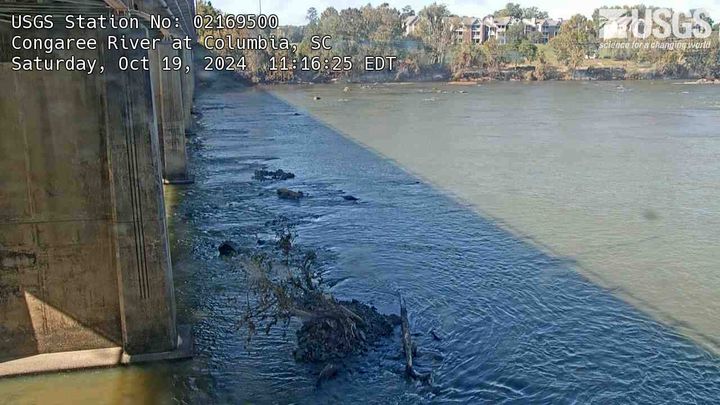 Congaree River at ColumbiaColumbiaNearby camera · 6.0 km · Live Confirmed
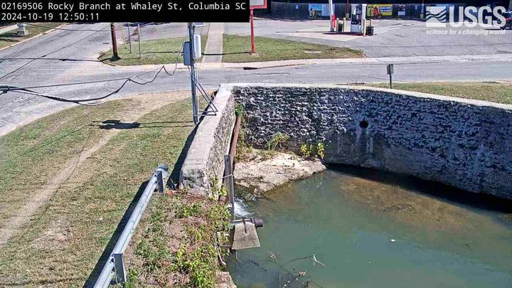 Rocky Branch at Whaley Street ColumbiaColumbiaNearby camera · 8.1 km · Live Confirmed
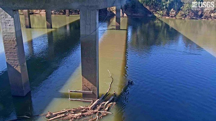 Congaree River below Cayce UPSTREAM CAMERACayceNearby camera · 12.9 km · Live Confirmed
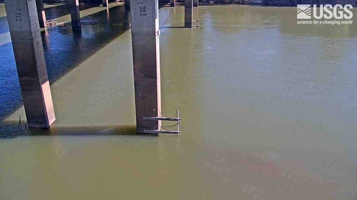 Congaree River below Cayce DOWNSTREAM CAMERACayceNearby camera · 12.9 km · Live Confirmed
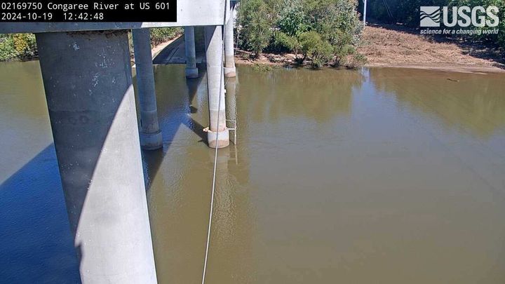 Congaree River at US HWY 601 near Fort MotteGadsdenNearby camera · 51.9 km · Live Confirmed
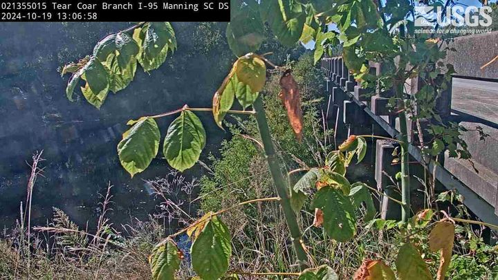 Tearcoat Branch at I 95 near Manning DOWNSTREAM CAMERAManningNearby camera · 91.0 km · Live Confirmed
Explore this area on the map →
Source & rights
U.S. Geological Survey