Wando River above Mt Pleasant Webcam
View the Wando River above Mt Pleasant Webcam near North Charleston, United States, provided by U.S. Geological Survey National Imagery Management System (NIMS). Categories: Nature, Water.
Location context
- Nearby mapped place's region
- South Carolina
- Nearby named feature
- Daniel Island (island) · approximately 1.5 km from camera coordinates
- Nearby named feature
- Lake Wackedaw (reservoir) · approximately 4.8 km from camera coordinates
Nearby webcams
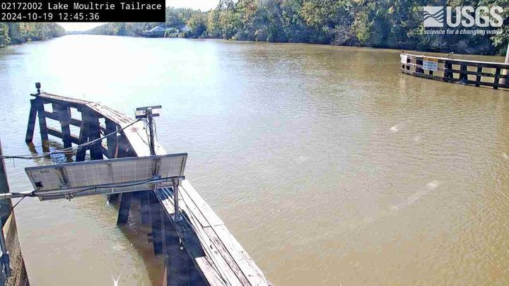 Lake Moultrie Tailrace Canal at Moncks Corner
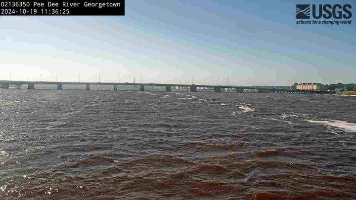 Pee Dee River at Georgetown
Similar webcams
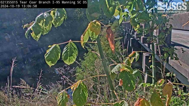 Tearcoat Branch at I 95 near Manning DOWNSTREAM CAMERAManningShared category · Live Confirmed
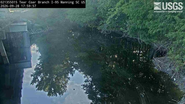 Tearcoat Branch at I 95 near Manning UPSTREAM CAMERAManningShared category · Live Confirmed
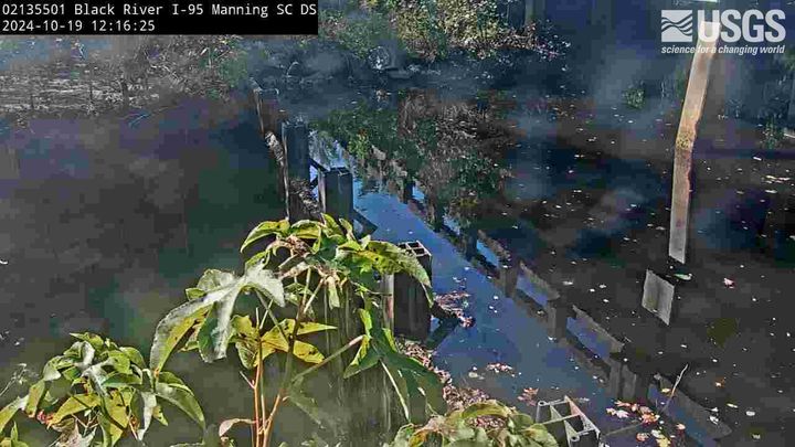 Black River at I 95 near Manning DOWNSTREAM CAMERAManningShared category · Live Confirmed
 Black River at I 95 near Manning UPSTREAM CAMERAManningShared category · Live Confirmed
Explore this area on the map →
Source & rights
U.S. Geological Survey