Yahara River at Windsor Webcam
View the Yahara River at Windsor Webcam near Windsor, United States, provided by U.S. Geological Survey National Imagery Management System (NIMS). Categories: Nature, Water.
Location context
- Nearby mapped place's region
- Wisconsin
- Nearby named feature
- Windsor Lake (lake) · approximately 700 m from camera coordinates
- Nearby named feature
- Cherokee Marsh State Fishery Area (park) · approximately 3.3 km from camera coordinates
Nearby webcams
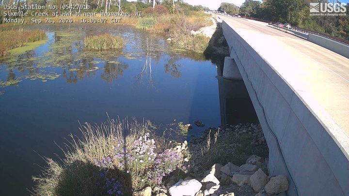 Sixmile Creek at HWY M near WaunakeeWaunakeeNearby camera · 9.7 km · Live Confirmed
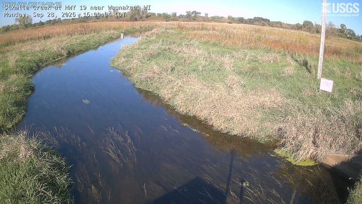 Sixmile Creek at HWY 19 near WaunakeeWaunakeeNearby camera · 9.9 km · Live Confirmed
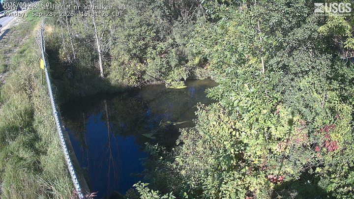 Dorn Creek at HWY M nr WaunakeeMaple BluffNearby camera · 10.5 km · Live Confirmed
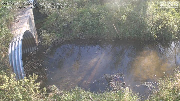 Dorn Creek at HWY Q near WaunakeeWaunakeeNearby camera · 12.0 km · Live Confirmed
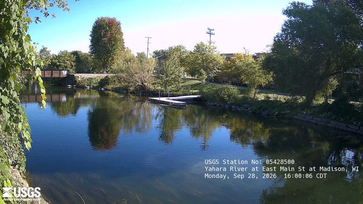 Yahara River at East Main St at MadisonMaple BluffNearby camera · 13.3 km · Live Confirmed
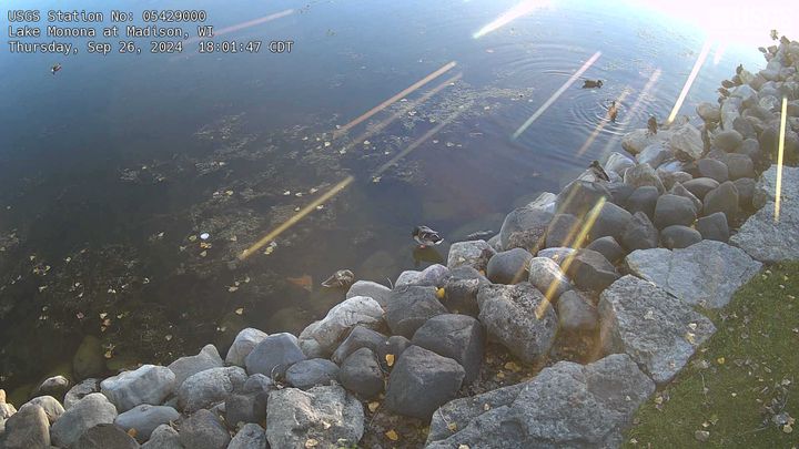 Lake Monona at MadisonMadisonNearby camera · 16.6 km · Live Confirmed
Explore this area on the map →
Source & rights
U.S. Geological Survey