Mountain Webcams for Trips: Find Feeds, Check Official Forecasts
Start with map hubs, resort webcam pages, national park cams and pass or road cameras to see live mountain views. They work well for scenery and quick checks of visibility, cloud cover and snow on the slopes. Check each page’s timestamp, and never rely on a webcam alone: confirm conditions with official weather and avalanche forecasts before you head out.
TL;DR:
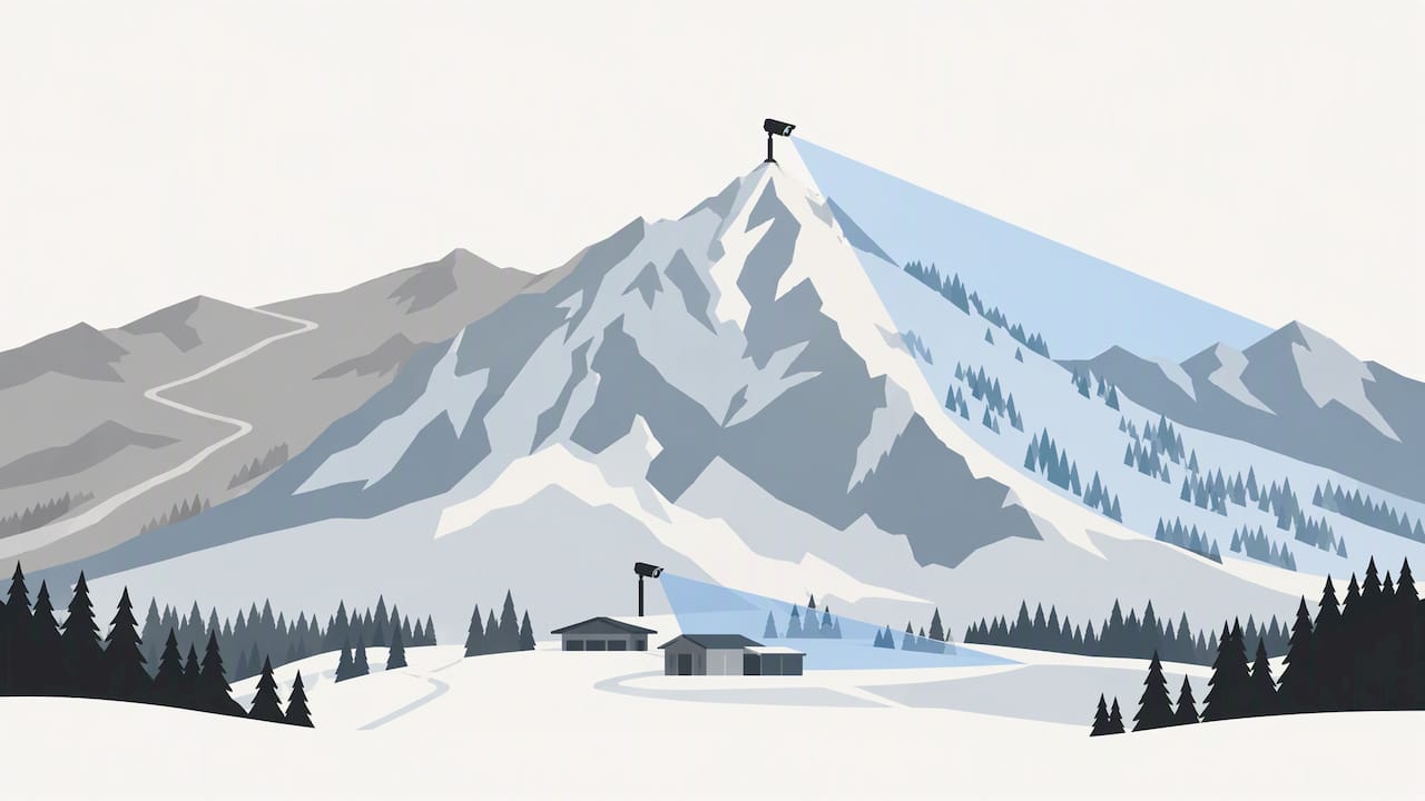
- Compare summit, base, and nearby road cameras; a clear lower slope can sit beneath summit cloud, while each fixed view covers only one direction.
- Update schedules vary from every few minutes to far less often; treat missing timestamps or frozen images as unconfirmed, not current conditions.
- For route access, use transportation agency pass cameras to inspect road surfaces and visibility, then compare the view with an official weather forecast.
- Treat snow stake cameras as visual clues, not snowfall measurements; resorts may measure official totals at separate sites, so check the resort report.
- Parks Canada’s daily avalanche forecasts assess danger across alpine, treeline, and below treeline terrain for a rolling period of two days.
Explore mountain views before your trip. Browse location-based webcams to compare available views and supplement official forecasts. Explore the webcam map.
Table of Contents
- Where can you find live mountain webcams?
- What types of mountain webcams should you check?
- How do you use mountain webcams for trip planning?
- What can’t webcams reliably show?
- Find verified mountain webcams worldwide with us
- FAQ
- Sources
Where can you find live mountain webcams?
Live mountain views come from several kinds of places, and each answers a different question. Knowing which to open first saves you from scrolling through dozens of feeds that do not match your plan.
Map hubs and directories. A map-first webcam directory lets you zoom into a range, a country or a valley and see which cameras sit nearby. Our Worldwide Webcam Map works this way, and our country pages, such as United States webcams, Canada webcams and Switzerland webcams, group cameras by place so you can compare several views of the same region.
Resort webcam pages. Ski areas publish pages with lift, plaza, base and summit views. Purgatory Resort documents base, summit and plaza cameras with altitudes noted, which helps you judge how conditions change from bottom to top. Pages such as Round Top’s Mountain Cams offer several vantage points, including village and summit views.
National park webcams. The Mount Rainier National Park webcams help visitors assess visibility, cloud cover and parking lot status. The Teton Range live webcam in Grand Teton National Park offers a panorama that shows overall visibility from a distance. For more on this category, see our guide to finding national park webcams fast.
Pass and road cameras. Transportation agencies run cameras along mountain roads. These are the most practical views when your question is whether a route looks passable or whether fog or snow is covering the road.
Quick ways to search
- Search the place or pass name plus “webcam”, such as a resort, park or road name.
- Add the region to a generic query: “mountain webcam” plus the range or country.
- Open a map hub, zoom to the range, and click the cameras closest to your route or trailhead.
- Use a resort’s own “Webcams” or “Mountain Cams” section, like those at Cypress Mountain or Snowshoe, where cameras are grouped by area.
- Bookmark the pages you use most so you can check them in seconds before a trip.
One habit pays off quickly: open at least two sources for the same area. A resort summit view and a nearby road or park camera rarely tell the same story, and the gap between them is often the most useful part.
What types of mountain webcams should you check?
Different cameras answer different questions, so match the type to what you need to know.
- Resort slope and lift cams show runs, lifts and crowds. They are good for judging whether terrain looks open and how busy it is. They usually cover managed, groomed terrain rather than natural slopes.
- Plaza, base and summit cams show conditions at different elevations. A clear base can sit under a summit buried in cloud, so check both when the resort offers them.
- Snow stake and powder cams point at a marked pole or board to give an unofficial look at accumulation. Sugar Bowl is an example of a resort that publishes cameras like this, with some cams updating every five minutes. Purgatory notes that its stake cameras give a real-time look, but official snowfall totals are measured at separate sites.
- Pass and road cams are run by transportation agencies and show the road surface, traffic and visibility along a route. They are the best fit for access decisions.
- Park and research cams give wide panoramas for visibility, cloud cover and parking lot status. They are not meant to measure snow depth, so pair them with the park’s weather pages.
Refresh rates and fields of view
Update cadence varies widely. Some cameras refresh every few minutes, others far less often, and some pages show stills while others stream video. The German Alpine Club also notes that webcams may not be timestamped or operational around the clock, so a missing or stale time label is a warning sign in its own right (see its overview of webcam benefits and limits, in German).
Field of view is the other constraint. A fixed camera shows one direction and one slice of terrain. A summit cam looking east tells you nothing about the western approach, and a plaza cam tells you nothing about the ridge above it. Treat each camera as one data point, not a picture of the whole mountain.
How do you use mountain webcams for trip planning?
Follow this routine each time you check a camera, and you will catch most of the problems that make webcam images misleading.
- Verify the timestamp and update frequency. Look for a time label on the image or a note about refresh intervals. If you cannot find either, treat the image as unconfirmed. Our guides to checking whether a wildlife feed is live and to verifying the source and timestamp of coastal cams use the same checks, and they apply to mountains too.
- Confirm what the camera is actually pointed at. Read the page description for orientation and elevation. A camera aimed at a sunny, groomed run says little about a shaded backcountry slope.
- Compare several cameras for the same area. Open the summit, base and nearest road or pass view together. Disagreement between them is useful information, not a glitch.
- Use snow stake and powder cams cautiously. Treat them as a visual hint and cross-check with the resort’s official snowfall report.
- Combine the visuals with official sources. Before any final decision, check the official weather forecast, the resort status page and, for any exposed or backcountry terrain, the avalanche bulletin.
Pro Tip: Bookmark the place pages you trust and check them regularly before your trip, so you learn what “normal” looks like for that camera and notice real changes faster.
Mobile habits that help
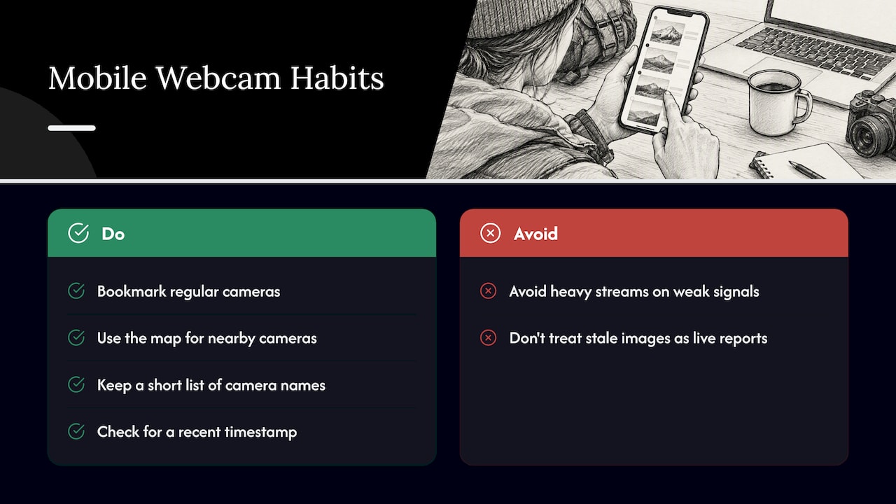
Save your regular cameras as bookmarks or home-screen shortcuts, use the map view to jump between nearby cameras, and keep a short list of the camera or place names you rely on. On a weak mountain signal, a lightweight page that loads a single still image will work better than a heavy streaming page.
Keep one more distinction in mind: a webcam page shows what the camera captured at some point, which is not the same as confirming what conditions are right now. Unless the page shows a recent timestamp, treat the image as general context for planning, not as a current report.
What can’t webcams reliably show?
Webcams are useful, but their blind spots are exactly where bad decisions get made. Knowing them keeps a pleasant view from turning into false confidence.
- Lens problems and light. Per the German Alpine Club, light rain or snowfall is often invisible on webcams unless it is extreme, and lens obstructions can mask precipitation, giving a false impression of clear conditions. Glare, dusk and night make this worse.
- Narrow, scenic framing. Cameras tend to be placed where the view is attractive or where a resort wants to show off its terrain, not where hazards form. The same alpine club overview notes that placement often favors scenic or managed ski slopes, which can misrepresent natural backcountry conditions.
- Snow depth and surface. Resorts sometimes use artificial snowmaking, and cameras are often aimed at north-facing slopes that hold snow longer. A white slope on screen does not tell you about the natural snowpack, its depth or its stability.
- Weather outside the frame. A camera cannot show a thunderstorm front or lightning that has not yet entered its view. Purgatory Resort’s weather page says webcams should never be the sole source for safety, because mountain weather changes rapidly, and recommends cross-referencing official weather and avalanche forecasts.
- Slow or missing updates. A frozen image can look like a calm day. Always check the time label.
Parks Canada says public avalanche forecasts are compiled daily and give danger ratings for alpine, treeline and below-treeline terrain for a rolling two-day period. Webcams cannot replace that: they show a picture, while forecasts assess the hazard.
For backcountry or exposed travel, a webcam can show only a limited view. Do not use it alone to assess safety; consult official forecasts and local conditions, and use on-site observations as additional context.
A simple workflow
- Check the avalanche bulletin and weather forecast for your area first.
- Open two or three webcams for the same area and confirm the timestamps.
- Compare what you see with what the forecast predicts.
- If the two disagree, trust the official source and choose the more cautious plan.
Find verified mountain webcams worldwide with us
We built GlobeWebcams so you can spend less time hunting for working mountain views and more time reading them. Open our Worldwide Webcam Map, zoom to the range you care about, and move between nearby cameras without opening a dozen tabs.
- Browse by map, country or place, with category filters for nature.
- Open dedicated place pages that group the cameras for one location.
- Follow links back to the original provider of each feed, so you always see who runs the camera.
- Learn about our approach on our methodology page and sources page.
We do not own or operate the third-party cameras we list, and a camera page is general context, not a confirmed current report. Pair it with official forecasts every time. Next step: open the map, find your mountain region, and bookmark the place pages you will want before your trip.
FAQ
Are mountain webcams live?
Many update every few minutes, but not all are truly live or running around the clock. Check the timestamp and refresh note on the page. Some resorts, such as Sugar Bowl, state update intervals on their webcam pages.
Can I check snow conditions with a mountain webcam?
You can get a quick visual impression, but not a reliable measurement. Snowmaking and camera placement can make a slope look better or worse than the natural snowpack. Confirm with the resort’s official snow report and local forecasts.
Can webcams tell me if an avalanche is likely?
No. Webcams cannot assess snowpack stability or regional hazard. Use the official avalanche bulletin for your area, such as the Parks Canada public forecasts, alongside local observations.
What is the best type of camera for checking a mountain pass?
Road and pass cameras run by transportation agencies are the most useful for route decisions, because they show the road surface and visibility along the route. Compare them with a nearby summit or park camera and an official weather forecast.
Sources
Treat webcams as the visual layer and official products as the decision layer. Each source covers something the cameras cannot.
- Parks Canada avalanche information - Mountain safety
- Webcams - Mount Rainier National Park (U.S. National Park Service)
Recommended
- Wildlife Webcams: Check Whether a Feed Is Live
- Harbor Webcams: How to Check Whether a Feed Is Live
- Find National Park Webcams Fast: Map Search
- Airport Webcam Views: Finding Verified Sources
Webcam availability and conditions can change without notice. GlobeWebcams does not operate most listed cameras; feeds and imagery remain under the control of their original providers. Do not rely on webcam imagery alone for weather, road, travel or safety decisions.