Almannaskarð - norður Webcam
View Vegagerðin’s north-looking Almannaskarð road camera near Höfn, identified as Route 1 station 7075 in the official inventory.
About this webcam
Vegagerðin identifies this north Almannaskarð station as number 7075 on Hringvegur, Route 1. Its two inventory rows describe views northward, including one looking down toward the road. The Höfn label is a nearby locality association, not a town-centre camera claim.
North and south are separate stations
The south-looking Almannaskarð station has a different measurement-station number, 7076. Choose it when the opposite road direction is relevant; do not interpret the two names as a rotating video feed. Road status and restrictions belong to the official traffic map, not to an inference from the image.
Location context
- Nearby mapped place's region
- East
- Nearby named feature
- Skarðstindur (peak) · approximately 900 m from camera coordinates
- Nearby named feature
- Skarðsdalur (valley) · approximately 1.1 km from camera coordinates
Nearby webcams
 Almannaskarð - suðurHöfnSame mapped place · 1.2 km · Live Confirmed
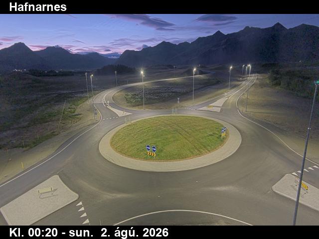 HafnarnesHöfnSame mapped place · 8.3 km · Live Confirmed
 SkógeyHöfnSame mapped place · 14.3 km · Live Confirmed
 Fáskrúðsfjarðargöng - suðurReyðarfjörðurNearby camera · 84.8 km · Live Confirmed
 Fáskrúðsfjarðargöng - norðurReyðarfjörðurNearby camera · 89.3 km · Live Confirmed
 Norðfjarðargöng-suðurEskifjörðurNearby camera · 99.4 km · Live Confirmed
Explore this area on the map →