Almannaskarð - suður Webcam
See the south-looking Almannaskarð Route 1 viewpoint near Höfn, recorded by Vegagerðin as station 7076.
About this webcam
This is the south Almannaskarð station, number 7076 in Vegagerðin’s public camera inventory. The source describes southward views of the Route 1 road area. It is separate from north station 7075, rather than a second name for the same camera record.
Match the direction to the road question
The official station includes south-looking and downward-road image descriptions. The listing displays a still photograph from that station, not continuous video or proof of passability along the rest of Route 1. Check the traffic service for current road notifications.
Location context
- Nearby mapped place's region
- East
- Nearby named feature
- Skarðstindur (peak) · approximately 800 m from camera coordinates
- Nearby named feature
- Fjarðarfjall (mountain) · approximately 1.9 km from camera coordinates
Nearby webcams
 Almannaskarð - norðurHöfnSame mapped place · 1.2 km · Live Confirmed
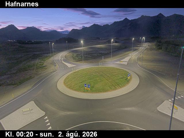 HafnarnesHöfnSame mapped place · 7.6 km · Live Confirmed
 SkógeyHöfnSame mapped place · 13.8 km · Live Confirmed
 Fáskrúðsfjarðargöng - suðurReyðarfjörðurNearby camera · 85.9 km · Live Confirmed
 Fáskrúðsfjarðargöng - norðurReyðarfjörðurNearby camera · 90.4 km · Live Confirmed
Explore this area on the map →