Lower River Rouge at Dearborn Webcam
View the Lower River Rouge at Dearborn Webcam near Dearborn Heights, United States, provided by U.S. Geological Survey National Imagery Management System (NIMS). Categories: Nature, Water.
Location context
- Nearby mapped place's region
- Michigan
- Nearby named feature
- Charles A Kandt House Historical Marker (park) · approximately 200 m from camera coordinates
- Nearby named feature
- Fordson Island (island) · approximately 8.8 km from camera coordinates
Nearby webcams
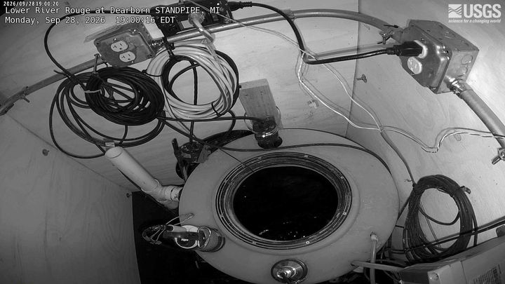 Lower River Rouge at Dearborn STANDPIPEDearborn HeightsSame mapped place · 0.0 km · Live Confirmed
 River Rouge at DetroitRedfordNearby camera · 7.2 km · Live Confirmed
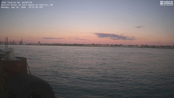 Detroit River at Fort Wayne at DetroitRiver RougeNearby camera · 13.2 km · Live Confirmed
Highway 401 at Ojibway Parkway/EC Row ExpresswayLaSalleNearby camera · 14.8 km · Live Probable
City of Windsor – Wyandotte Street and Patricia RoadWindsorNearby camera · 15.4 km · Live Confirmed
Highway 401 East of Matchett RoadLaSalleNearby camera · 15.7 km · Live Confirmed
Explore this area on the map →
Source & rights
U.S. Geological Survey