Lower River Rouge at Dearborn STANDPIPE Webcam
View the Lower River Rouge at Dearborn STANDPIPE Webcam near Dearborn Heights, United States, provided by U.S. Geological Survey National Imagery Management System (NIMS). Categories: Nature, Water.
Location context
- Nearby mapped place's region
- Michigan
- Nearby named feature
- Charles A Kandt House Historical Marker (park) · approximately 200 m from camera coordinates
- Nearby named feature
- Fordson Island (island) · approximately 8.8 km from camera coordinates
Nearby webcams
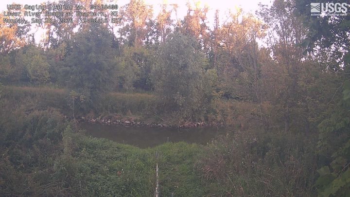 Lower River Rouge at DearbornDearborn HeightsSame mapped place · 0.0 km · Live Confirmed
 River Rouge at DetroitRedfordNearby camera · 7.2 km · Live Confirmed
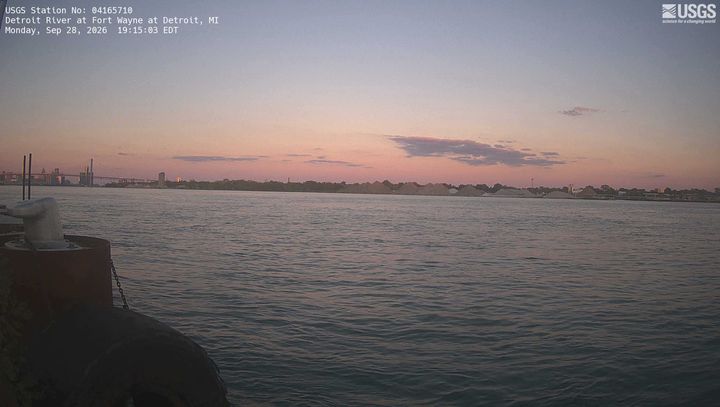 Detroit River at Fort Wayne at DetroitRiver RougeNearby camera · 13.2 km · Live Confirmed
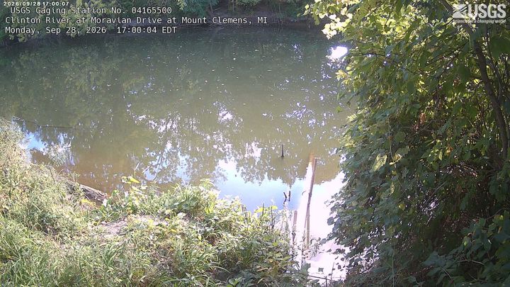 Clinton River at Moravian Drive at Mount ClemensClinton TownshipNearby camera · 42.6 km · Live Confirmed
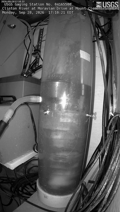 Clinton River at Moravian Drive at Mount Clemens STANDPIPEClinton TownshipNearby camera · 42.6 km · Live Confirmed
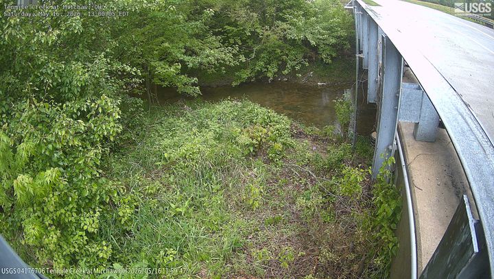 Tenmile Creek at MitchawSylvaniaNearby camera · 80.9 km · Live Confirmed
Explore this area on the map →
Source & rights
U.S. Geological Survey