Blizzard Webcams: How to Watch a Storm and Read What You See
The best blizzard webcams are the ones you can verify: a camera from a known provider, with a visible timestamp that matches local time, in a place where you know what the view should look like. Start from a map or a place page, confirm the image is fresh, then pair it with official forecasts and road reports. A webcam shows you a moment at one spot. It does not tell you what the storm is doing ten miles up the road.
GlobeWebcams is a worldwide directory that lets you browse public or authorized webcams by country, category and place, with links back to the original providers. We do not own or operate the cameras. This guide covers where storm views come from, how to tell whether a feed is current, what a camera cannot show in a whiteout, and which official sources to open next to it.
GlobeWebcamsglobewebcams.comFind Storm Views by PlaceBrowse webcams by location on an interactive map, with links to original providers for checking local views during winter weather.Explore webcams on the interactive mapTL;DR
- A blizzard, by the National Weather Service definition, needs strong wind and very low visibility for an extended time, so the view on a camera can change from clear to blank within minutes.
- Check the timestamp against your local time before you trust any image. Some webcam images are minutes or hours old.
- Use webcams for a visual sense of a place, and use NWS warnings and your state’s 511 service for decisions about travel.
- Heavy blowing snow can defeat a camera as well as a driver, so a gray frame is not proof that roads are passable or closed.
- Browse by region on the GlobeWebcams map or the United States directory to find views with a named source.
Table of Contents
- What counts as a blizzard, and why it matters for cameras
- Where to find blizzard webcam views
- How to check that a blizzard webcam is current
- What a camera can and cannot tell you in a whiteout
- Official sources to open next to a webcam
- Using webcams to plan around winter storms
- Find storm views by place on GlobeWebcams
- What to look for in a useful storm camera
- FAQ
- Sources
What counts as a blizzard, and why it matters for cameras
The word is used loosely in headlines, but it has a technical meaning. The National Weather Service defines a blizzard as a storm with large amounts of snow or blowing snow, winds above 35 mph and visibility under a quarter mile for at least three hours. Heavy snowfall and extreme cold often come along, but they are not required. Wind-driven snow that was already on the ground can create a ground blizzard with no fresh snow falling.
That definition explains what you will see on a camera. Visibility is the defining variable, and visibility is exactly what a lens depends on. A camera in a blizzard may show a bright white frame, a frame with only the nearest pole or sign, or a lens crusted with ice. Each of these looks different from a quiet snowfall, and none tells you much about conditions beyond a few yards.
It also means that “blizzard webcams” is partly a timing question. The storms that produce true blizzard criteria are regional events. Outside storm season, the views worth watching are the ones that show you what winter normally looks like at a place, which helps when you plan a trip.
Where to find blizzard webcam views
During a major storm, there are four common kinds of view, and each has different strengths.
Local and national news pages. Newsrooms assemble live views during big storms. For example, NBC New York put together live views of Times Square and driving conditions along the Jersey Shore on one storm page. These are useful for a city skyline in snow, though they are tied to that storm and may be taken down afterward.
Transportation cameras. State and national road agencies publish roadside cameras so drivers can see the pavement. Finland’s road operator, for one, reports 420 road weather stations, more than 240,000 camera shots a day and more than 900 cameras. In the US, many of these feeds sit behind 511 services, which we cover below. We list a number of road-weather sources with attribution; the Fintraffic source page shows how we describe one of them.
Weather office pages. Some NWS offices collect regional webcam links. The Marquette office’s winter weather monitor lists regional webcams and links to road reports for Michigan, Wisconsin and Minnesota, which is a good example of putting views and official conditions on one page.
Place-based directories. If you want a particular town, pass or park rather than a storm roundup, a directory organized by location is faster. Open the United States webcam directory or the Canada directory, narrow to the state or province, and look for cameras with a named provider.
For mountain terrain, our guides cover mountain webcams for trips, ski resort cameras and their elevations, and what to check at Logan Pass. On the coast, wind and waves matter as much as snow, so see coastal webcams.
How to check that a blizzard webcam is current
A snowstorm image is easy to misjudge, because snow looks similar from one hour to the next. Run these checks in order.
- Find the timestamp. Look for a date and time burned into the image or shown beside it. The Exploratorium notes that webcam images may be minutes or hours old and suggests comparing the posted time with the actual local time. Convert for time zones. A camera in Anchorage and a camera in Buffalo are not on your clock.
- Learn the refresh pattern. Many cameras do not stream video. They post a still every few minutes. Remote sites can be slower still: the Australian Antarctic Program explains that limited bandwidth means its stations send still images every three minutes, and weather or communications problems can delay or interrupt feeds. The same logic applies to a mountain pass on a weak connection in a storm.
- Reload and compare. Refresh the page after a few minutes. If the image, clock and snow on the ground do not change, the feed may be frozen.
- Match the view to the claim. Check that landmarks, signs or terrain fit the place the page names. A tower, a ridgeline or a street sign is a better anchor than a caption.
- Identify the provider. A camera page that names the organization running the camera, and links to it, is easier to verify than an unlabeled embed.
- Note the weather in the frame. If the frame is bright and calm but the forecast calls for 40 mph gusts, assume the image is old or you have the wrong location.
On every page we publish, we link back to the original provider and apply source-rights, availability and quality checks before publishing. Our methodology page and sources page explain how. Even so, a camera can drop out at any minute during a storm, so we never treat a listing as a guarantee that a view is live right now. Our guide to snow cameras and how to read them goes deeper on the snow-specific details.
What a camera can and cannot tell you in a whiteout
Snow cameras are useful. They show whether flakes are falling, whether a street has been plowed, whether a parking lot is buried, and whether a mountain is hidden in cloud. They give you a quick feel for a place that no forecast table provides.
In a blizzard, though, their limits show up. A Wyoming DOT research report found that low visibility in a blizzard may prevent webcams from recognizing road-surface weather, which limits their use for real-time weather detection. If automated systems struggle with the image, a person glancing at a gray frame should be careful too.
Here is what that means in practice:
| What you see | What it may mean | What it does not tell you |
|---|---|---|
| Bright white or gray frame | Heavy blowing snow, fog or a snow-covered lens | Whether the road is open or drivable |
| Clear view, snow on ground | Storm has passed or is not at the camera yet | Conditions on the route beyond the camera |
| Only nearby objects visible | Visibility is very low at that spot | How long it will last |
| Image unchanged for a long time | Frozen feed or stale upload | Anything about current weather |
| Plowed lanes in view | A plow has passed at some earlier time | Whether drifting has covered them again |
A fixed view also covers a narrow slice of the world. Researchers who use webcam images to document avalanches note that fixed views are limited, while satellite imagery can document affected areas continuously over large regions. The same principle holds for storm travel: one camera is one angle at one place.
So treat webcams as context, not as a decision tool. Do not rely on webcam imagery alone for weather, road, travel or safety decisions.
Official sources to open next to a webcam
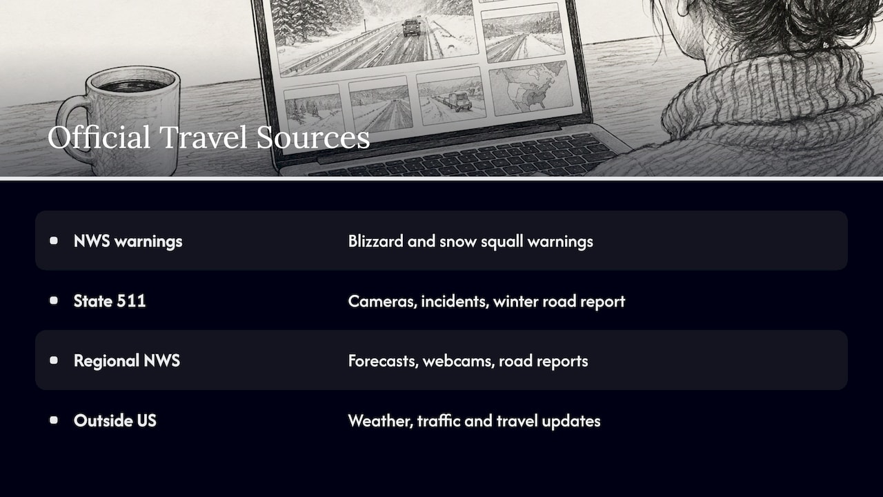
Pair every storm view with at least two official sources: the forecast and warning, and the road-condition report.
NWS warnings. The NWS issues blizzard warnings and, for brief, intense bursts, snow squall warnings. Its snow squall guidance explains that the “Observed” tag means conditions are confirmed by sources including ASOS stations, spotters, webcams, law enforcement or emergency management. That is a useful reminder that webcams are one input among several in an official warning, not the whole picture. The same document says its Impact-Based Warning tags communicate the source of information and the severity of the impact.
State 511 services. The Federal Highway Administration keeps state-by-state lists of traveler information. Wisconsin’s page, for example, points to 511 travel information that includes traffic cameras, incidents, and a statewide winter road conditions report. Pennsylvania’s list includes 511 road conditions, cameras and weather. Find your state’s entry and bookmark it before the season starts.
Regional NWS office pages. Pages such as the Marquette winter monitor combine forecasts, webcams and road reports for a region.
Outside the US. If your trip crosses borders, look for the national road agency. Traffic Scotland publishes weather-warning advice, live traffic and travel updates, and police travel warnings. Norway’s road administration offers weather data, travel times, webcam images and traffic information through DATEX II, a European standard for exchanging traffic information.
If you are traveling during a warning, follow the guidance in it and the advice from local authorities. A webcam showing a clear road does not override a closure or a no-travel advisory.
Using webcams to plan around winter storms
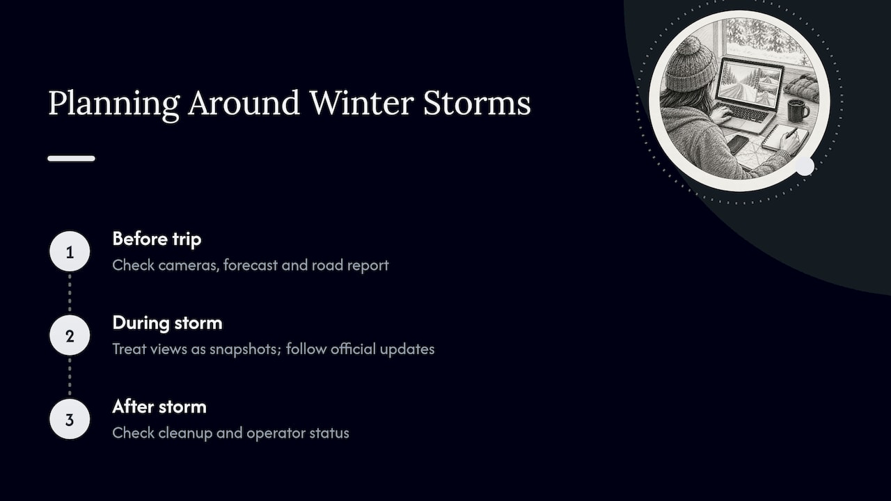
Blizzards are rare for most places, so most of the planning value of snow cameras comes before and after a storm.
Before a trip. Look at the cameras near your destination for several days ahead of departure. You are looking for the trend: is snow building, is the pass clear, is cloud sitting on the summit? Then check the forecast and the road report. For national parks and mountain areas, a page like Mount Rainier webcams from Longmire and Paradise gives you named views at known locations to compare against official park and road information.
During a storm. Treat a view as a snapshot. If you are at home, watching a city in snow is a fine way to follow along. If you are on the road, you need official updates, not a camera.
After a storm. Cameras help you judge cleanup: whether trailheads are buried, whether a ski area looks open, whether a coastal road is still clear of drifts. Combine that with the operator’s own status page. Surf and coast watchers can add live surf cameras with buoy checks once the wind drops.
For wildlife and scenery. Winter storms also change what animals and landscapes look like. Our guide to wildlife webcams and how to check whether a feed is live applies the same timestamp checks to nature views.
Find storm views by place on GlobeWebcams
If you want a specific location rather than a news roundup, use GlobeWebcams as the starting point. The worldwide webcam map lets you move around the globe and open dedicated pages for places, countries and categories. The public webcam directory lists the camera pages we have published, each linking back to its original provider. That makes the next step simple: open the provider’s page, check the timestamp, and then open the official forecast.
What to look for in a useful storm camera
Not every camera is worth your time during bad weather. These features make a view easier to use.
- A visible timestamp. The single most useful feature. Without one, you cannot judge age.
- A named operator. A road agency, a resort, a park or a university gives you someone to check with.
- A fixed, recognizable landmark. A sign, pole or peak lets you judge visibility by how much of it you can see.
- A clear angle. A road view that shows lanes tells you more than a view of the sky.
- Frequent updates. A refresh every few minutes beats an hourly upload. Larger systems show how much data is possible: Fintraffic’s service handles more than 240,000 camera shots a day across its network.
- Nearby station data. Temperature and wind readings next to the image help explain what you see.
Cameras with several of these traits make better companions to a forecast. Cameras with none are mostly decoration.
FAQ
What are the best blizzard webcams?
The best ones are those with a named provider, a visible timestamp and a view of something you can recognize, such as a road, a pass or a main street. Storm roundups from news organizations are good for big-city views during an event. For a specific place, a location-based directory is usually quicker. Whichever you pick, check the clock on the image first.
Can I watch a blizzard live on a webcam?
Often, yes, but many cameras post still images every few minutes rather than streaming video. Weather can also interrupt the connection, so a feed may pause just when the storm is worst. Check the timestamp and reload to see whether it updates.
Can a webcam tell me if the road is safe to drive?
No. In a blizzard, low visibility can keep cameras from showing the road surface clearly, and a camera shows only one spot. Use your state’s 511 service, NWS warnings and local authorities for travel decisions.
What is the difference between a blizzard and a heavy snowstorm?
A blizzard is defined by wind and visibility, not by how much snow falls. The NWS requires winds above 35 mph and visibility under a quarter mile for at least three hours. A storm can drop a foot of snow and still not meet that standard.
Why does my snow webcam look the same for hours?
The image may be stale, the feed may be frozen, or the camera may be covered in snow or ice. Compare the posted time with your local time and reload the page. If it still does not change, find the provider’s page or an official report for the area.
Sources
- NWS Flagstaff: Winter Storms and Blizzards
- NBC New York: live Times Square cam and blizzard coverage
- Fintraffic: road weather conditions
- NWS Marquette Winter Weather Monitor
- Exploratorium: ComeRainComeShine webcam activity
- Australian Antarctic Program: station webcam FAQs
- Wyoming DOT: Automated Real-Time Weather Detection report
- The Cryosphere: interactive snow avalanche segmentation from webcam imagery
- NWS: Snow Squall Warnings
- FHWA: Wisconsin traffic information
- FHWA: Pennsylvania traffic information
- Traffic Scotland: travel advice
- Statens vegvesen: DATEX traffic information
Recommended
- Glacier Webcams: Check Logan Pass Conditions…
- Snow Cameras Live: How to Read Them Before You Go
- Mountain Webcams for Trips: Find Feeds, Check…
Webcam availability and conditions can change without notice. GlobeWebcams does not operate most listed cameras; feeds and imagery remain under the control of their original providers. Do not rely on webcam imagery alone for weather, road, travel or safety decisions.